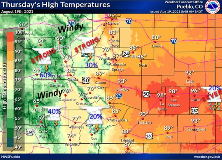
Large hail and gusty winds are possible this afternoon in Colorado, according to the National Weather Service. The main threats are found along the Front Range and Eastern Plains.
One risk area extends northeast from Colorado Springs, spanning parts of El Paso, Douglas, Elbert, and Lincoln counties. Here, 1.5-inch hail (ping pong ball-size) and winds up to 60 miles per hour are expected.
Larger hail is expected to fall farther south, mainly hitting Prowers and Kiowa counties. In this part of the state, hail could reach up to two inches (egg-size) and winds could hit 70 miles per hour.
On the northern Front Range and in the northeastern plains, a tornado is possible. The most severe weather in this region will likely be seen in the northeast corner of the state, though the Denver metro area is also at risk. In addition to a tornado risk, the Boulder branch of the National Weather Service calls for the potential of 2-inch hail, 60 mile-per-hour winds, and flash flooding in burn scar areas.
Thunderstorms are also expected to hit the mountains, bringing periods of brief and heavy rainfall. This could be particularly problematic in areas that have been dealing with flash floods and mudslides recently. Glenwood Canyon has already been closed to traffic in anticipation of the risk.
As far as timing goes, storms are expected to hit the mountains between 10 AM and 10 PM and the Eastern Plains between 2 PM and 6 PM, as mentioned in a forecast posted by the National Weather Service at 6 AM on Thursday.
There’s also a severe thunderstorm warning in the west that is active until 12:30 PM in the area of Nucla and Naturita. This could bring 60 mile-per-hour winds and quarter-size hail.
All weather statements are subject to change, but most Coloradans should prepare for tumultuous weather this afternoon. Hail of this size, especially when coupled with strong winds, can be damaging.
See more updates from Colorado’s National Weather Service stations here: Pueblo, Boulder, Grand Junction
This content was originally published here.

