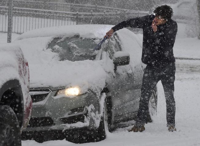
A fast-moving storm system will spread through Colorado and bring stormy weather Tuesday as the remnants of what is known as a bomb cyclone enters the state from California.
According to the National Weather Service, a bomb cyclone occurs when the barometric pressure drops 24 millibars within a 24-hour period. The National Weather Service issued several hazardous weather condition alerts for California as a bomb cyclone hit the northern areas of the state.
Colorado recorded its strongest storm in the state’s history when a bomb cyclone hit in March 2019. The lowest pressure for the Denver International Airport was measured at 979.01 millibars.
Scott Entrekin, meteorologist at the National Weather Service, said Colorado will not see anything similar to a bomb cyclone because the state will only see the weakened part of the storm from California.
“It’s weakened quite a bit since it’s been out in California, so we’re kind of getting just the tail end of that moisture with the trough as it moves across,” Entrekin said. “So, that system will be moving across the state during the day tomorrow. It’s really quick moving, so we’re not really expecting very much.”
Entrekin said Boulder will have a 70% chance of showers mainly in the afternoon on Tuesday with a high of 62 degrees. West wind gusts will be up to about 30 mph in the afternoon. The chance of showers will diminish early in the evening with a low of about 36 degrees.
Residents in the Boulder area can expect some rain showers down but snow in the higher elevations, Entrekin said.
The National Weather Service issued a hazardous weather condition outlook for northeast and north central Colorado. The outlook describes a storm system that will bring winds and precipitation Tuesday into early Wednesday with snow in the mountains. The snow will be light with a chance of brief heavier showers. Rain showers Tuesday afternoon are likely for the plains with a chance of a few thunderstorms.
A Winter Weather Advisory was also issued for West Jackson and West Grand counties above 9,000 feet. Snow accumulation could be between four to eight inches with wind gusts as high as 40 mph.
“I think just for folks traveling in the mountains, expect maybe some slick roads by tomorrow afternoon, tomorrow evening over the high mountain passes,” Entrekin said.
This content was originally published here.

