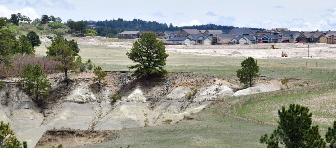
The Colorado Springs City Council voted to delay plans for hundreds of homes on the northeast side of town that neighbors argued would make wildfire evacuations more dangerous.
The board voted 8 to 1 to send the plans for a neighborhood of about 250 homes north of the Powers Boulevard and Old Ranch Road intersection back to the planning commission to examine options for a second road into the neighborhood that would access it from the north or west and address residents’ concerns about evacuation pinch points. The commission will also review a handful of ideas for addressing wildfire evacuations concerns that council members and developers proposed.
Both the residents and the development seemed unsatisfied with the decision to delay.
“They kicked the can down the road on a safety issue,” said Greg Howard, with the North Fork Homeowners Association Safety First Committee.
Developers also seemed somewhat stumped after agreeing to numerous mitigation measures to address wildfire evacuation concerns.
“We put a lot on the table. … We need some time to think,” said Chris Lieber, with NES Development on behalf of the Vintage Communities.
Residents argued the neighborhoods of North Fork and Kettle Creek North, which will include about 1,050 homes, need another exit route that would provide an alternative to Thunder Mountain Avenue, a north-south road that leads to Old Ranch Road. They argued that relying on them, and a smaller parallel residential street that also leads out to Old Ranch Road, could be dangerous, particularly if one was blocked in a traffic accident.
A majority of council members seemed to agree that a second route out of the neighborhood was needed, and the board voted 5-4 to deny the project even after the developer embraced six new ideas to address safety.
“I think this is a matter of safety, and these six areas, while they are mitigating, they are still like a Band-Aid,” Councilwoman Yolanda Avila said.
Vintage Communities, the company planning to build Kettle Creek North, agreed not to allow residents to live in the homes until a new fire station is built along the Highway 83 corridor that would ensure emergency responders can get to the neighborhood faster. Currently the neighborhood is on the outer edges of the agency’s goal response times between 8 and 12 minutes, Chief Randy Royal said.
The company committed to put in a dirt emergency access road to Howells Road north of the Encompass Heights Elementary School that could accommodate fire trucks, said Chris Lieber, with NES Development on behalf of the Vintage Communities. In the long term, the route could be maintained by a homeowners association, he said.
Councilman Bill Murray was among those who wasn’t satisfied by an emergency access route, in part because the neighborhood is home to Pine Creek High School and Encompass Heights Elementary School.
In his opinion, a dirt road with a locked fence was not a good replacement for a paved road, he said.
Vintage Communities suggested putting a new traffic light in front of Pine Creek High School to ensure that residents can more easily exit the neighborhood during the morning rush hour, putting in a 50 foot to buffer to the north where trees and other vegetation would be thinned or removed, and building homes to be fire resistant, through specific roof and siding materials.
The fire mitigation barrier would be maintained through a homeowner’s association over time, Lieber said.
“It’s all about reducing fuels and creating a defensible edge,” he said.
Vintage Communities also agreed to wait for the city and El Paso County to finish the intersection between Milum Road to Union Boulevard before allowing residents to move into the new homes. If the emergency route to Howells Road was put in and the new intersection completed, residents could evacuate east down Arrowhead Drive to Milum Road and then south to Union Boulevard.
But neighbors and some council members want to see an exit to the north or west so that all the traffic wouldn’t be flowing south.
Limited access could slow emergency responders trying to get to a fire or other emergency, Howard said.
“We don’t want to just evacuate … we would like to ensure the emergency responders can get there and save our homes as well,” he said.
A quick response is critical because of the high winds in the area and the existing moderate burn risk identified by the Colorado State Forest Service, Howard said.
Lieber said that a road toward the north was not feasible because of the cost of a bridge over Kettle Creek. It also would have to go through the habitat of a protected species, the Preble’s meadow jumping mouse, which could be challenging as well.
A connection to the west is also not feasible because the state will not allow a connection to Powers Boulevard, a state highway, planner Hannah Van Nimwegen said. The city asked for reconsideration of that decision last year and a connection was denied.
Residents asked the city to look harder for a solution to provide another route.
“Could we now get the county, state and city working together cooperatively,” said Richard Sevcik with North Fork Homeowners Association Safety First Committee.
This content was originally published here.

