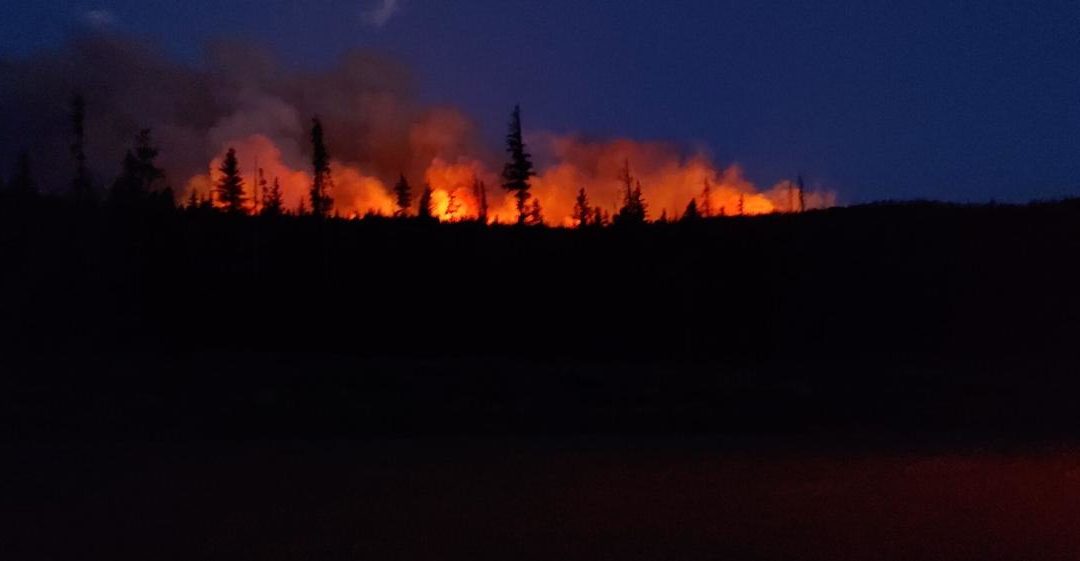
A wildfire in northern Colorado has grown to nearly 2,000 acres on its third day of burning amid extreme fire behavior, fire officials said.
Forest closures were implemented Sunday, July 11 within Routt National Forest due to the rapid growth of the Morgan Creek fire north of Steamboat Springs.
The area closure impacts roads, trails, recreation sites, and a large section of the Continental Divide Trail. Violations of the closure could cost an individual $5,000 or imprisonment up to six months or both.
Fire Closure map for Morgan Creek fire in Routt National Forest, Colorado. Current as of July 11, 2021.
The fire has entered the Mt. Zirkel Wilderness, which is west of Walden, Colorado.
The closure applies to all public use of roads, trails, and other natural features such as lakes, creeks, and mountains.
The closed area extends approximately from the National Forest boundary on the west near the town of Clark in Routt County; north to Big Agnes Mountain; east over the Continental Divide to the National Forest boundary in Jackson County near Red Canyon; and south to Mount Ethel.
Closures also include a large section in the middle of the Mount Zirkel Wilderness, a section of the Continental Divide Trail, all Forest Service recreation sites along the Seedhouse corridor, including campgrounds, trailheads, and the Seedhouse Guard Station. Forest Road 400 is closed where County Road 64 enters the National Forest. Forest Roads 440, 442, and all associated spur roads are also closed.
Many other trailheads and Forest Service recreation sites are impacted in both counties, such as part of the motorized Grizzly-Helena Trail in Jackson County. Read the fire closure order here.
Area closure in place on #Routt National Forest for #MorganCreekFire_CO: Closure impacts National Forest System lands in both Jackson and Routt counties.
News Release: https://t.co/17KstHdPhN
Closure Order: https://t.co/dWO2CdBP6n
Map PDF: https://t.co/Y5rNxvQTuB pic.twitter.com/4nL173IVcv
— Medicine Bow-Routt NFs & Thunder Basin NG (@FS_MBRTB)
Better mapping late Saturday shows the Morgan Creek fire has scorched 1,920 acres.
The blaze continues to move early Sunday to southeast areas and toward Floyd Peak. Flames are also reaching the Burn Ridge and Middle Fork burn scars.
Officials report the Morgan Creek fire’s behavior is “extreme, with spotting, torching, and crown runs.”
The Morgan Creek fire was reported about 1 p.m. Friday, July 9 about 15 miles north of Steamboat Springs in northern Colorado. The cause of the fire is currently unknown.
Sixty-five firefighters are battling the blaze amid extreme fire behavior as it is fueled by heavy dead and downed timber, officials said.
Pre-evacuation orders have been issued for residents in northern Routt County. Click here to view the voluntary evacuation map.
This content was originally published here.


